GEOGRAPHICAL INFORMATION SYSTEM
Vaishant Info System is an emerging GIS, quality-focused, utility mapping, and consulting service provider committed to providing cost-effective and efficient solutions and services to customers across the globe.
We have the professionals who are empowering this organization with their huge experiences of core competencies in providing Project consultancy services and Implementation in GIS, RAPDRP, Network Engineer implementation, Utility Data Conversion and Migration, to offshore as well as onshore clients.
Prior to establishing Vaishant Info System, we were associated with MNC’s for a duration ranging from 6 to 21 years who were implementing the Projects in the Global Market these have got the chance to work with MapmyIndia, Ramtech, RMSI, Infotech Enterprises in Indian Market. These were actively leading the GIS & Utility mapping division’s; they have successfully executed many National as well as international projects across the globe on the cutting-edge technologies.
Our vast experience helps us provide an integrated solution, support, quality, and cost-effective service to our esteemed clients, and we also work with the client in order to understand their requirements and expectations.
Honesty and Integrity are our top Priorities. Our Goal is to gain our customers trust and respect through a good standard of Ethics and Professionalism.
Our Vision We have the ambition and drive required to stay at the front line of the evolutionary chain and to create a unique identity and place in the industry where we can deliver irreplaceable solutions and services for our valuable part
VISIT MY OTHER Websitehttps://therebelblog.com/
SERVICES OFFERED
| Services | Sectors | Description of Services |
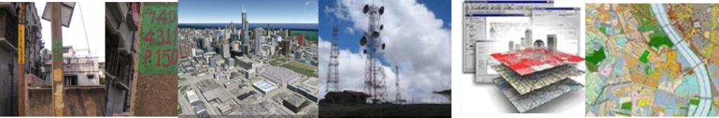
| GIS | Geospatial | Land base Creation using Satellite Imagery (Ikonos, Geoeye, Google), Maps. |
| Remote sensing, like orthorectification, land use, and land cover classification using digitization or classification techniques,. | ||
| GIS Mapping like Digitization, Drafting using Different sources like using images, Web Application, Links, Data Dictionary. | ||
| Utility Sector | Telecom | Conversion and Migration of Telecom Data into Network Engineer or any other GIS System. |
| Creation of Details Views like (Manhole Layout View, Span Cross Section View, Inside Plan View, etc.). | ||
| Power & Water | Conversion and Migration of Power Network Data, Water, Sewage Network Data into GIS System. | |
| Creation of Network Data using various international accepted data models. | ||
| Asset Code Painting for complete Electrical network assets. | ||
| Execution of RAPDRP Project from Asset Survey, Landbase creation, Electric Network creation and Data Migration to desired/existing system. | ||
| Data Management | Data Entry/Extraction | Data Entry, Data Creation, Scanning, Printing, Plotting, Data Messaging. |
| Conversion to XMLS, HTMl’s, PDF’s, JPG’s, from GIS Sources. |
PROJECTS EXECUTED
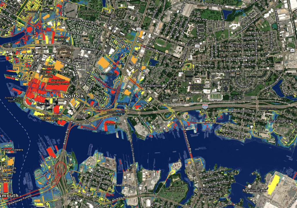
Land base creation:
The land base includes the natural and man-made environmental features within which infrastructis developed or by which natural resources are indexed and analyzed. These maps depict in detail ground relief (landforms and terrain), drainage (lakes and rivers), forest cover, administrative areas, populated areas, transportation routes and facilities (including roads and railways), and other man-made features.
Scope
The project comprises of geo-referencing, projection conversion, image enhancement, vector digitizing on various satellite images depending on client’s requirement, assigning unique-id to each entity and making the data topologically correct. Plots of different scale have been taken of digitized drawing with plot-id displayed on every entity for field survey. After the field survey the map has to be updated. The tasks involved are:
- Features identification, orientation, rotation and extraction (Vegetation, Wetland, Hydro – infrastructures, industrial, commercial areas, geological features like esker, dyke, landform and sand.).
- Capturing and Classification of all themes and entities like Hydrological, Hypsography, vegetation and manmade features (Rail, Road and Power Networks).
- Digitization, label separation, and attribute (object and extended data). Edge matching.
R-APDRP (TPWODL):
- Scope of the Project is
- The electrical network survey covers all the assets comprising the network of the EHT/HT network, the LT network, and the substation.
- The asset survey was carried out on a feeder basis from the substation after mapping all the assets of a particular substation.
- SLD for each feeder to be drawn on a plain paper and to be submitted to the Client for approval.
- All consumer details are to be collected sub-division-wise, and a handmade SLD is to be drawn with reference to the connected electric distribution pole.
- All the necessary landmark feature details collected and marked on the map
- The landbase map was digitized for the Division AOI, and all survey data was digitized on the digitized landbase data with consumer indexing. The topologically cleaned data file was submitted to the client in.shp/gdb format. All SLD’s drawn on plain paper were also submitted with updated land base and network data for review.
- Sequential unique asset code stickers are pasted on each asset on a feeder basis.
Data Entry Projects
- Data Entry from various hardcopy maps, scanned images, some Web sites, or a Survey
- Data Scanning
- Data Mining
- Data Linking with Graphical Data
- Data manipulation
- Data Extraction from databases like Oracle, MS Access, XLS, etc.
Data Conversion
- Conversion of Formats from one to another or vice versa
- Conversion from one format to another like To Doc, XLS, XML, JPG, PNG, PDF, RTF or Vice Versa